Download it in a range of formats:
Other variations are available on our logo page.
Please read our brief visual identity guidelines.
Any queries? Please contact us.
Mersey Valley Timberland Trail
Mersey Valley Countryside Warden Service: 0161 881 5639
To the south of the River Mersey the land rises from sea level to the Cheshire plain 50-70m higher. Erosion has produced an edge, with several steep hillsides and outcrops of the underlying red sandstone. From the valley this gives a skyline view of a ridge of low hills, often wooded. The Mersey Valley Timberland Trail follows the edge of the high land, sometimes dropping down to the valley to offer views from both levels.
Our local sandstone, with its pink colour and its sparkle, was a very popular building material in the nineteenth century. The biggest surviving quarry is at Runcorn Hill, though you can see others along the trail at several places. Runcorn Hill's quarries were at their peak in the late 1800s, and their stone was used in churches and public buildings in the town, but also went as far afield as New York. Other quarries along the trail were probably used only for local buildings, and may only have opened up when needed. All Saints Church at Daresbury, which was built in 1870 and features a stained glass window with characters from Lewis Carroll's 'Alice' books, is said to have been built from stone quarried at Keckwick Hill. Lewis Carroll's father was the parson here.
Victorian quarry workers were shocked to discover what looked like hand prints in the rock they were splitting open. These were made in Triassic times, 240 million years ago, when our area was in a part of the earth similar to Egypt or Ethiopia today, by an animal called Ticinosuchus ('tick-eye-no-soo-kus'), a forerunner of the dinosaurs. Ticinosuchus was a formidable meat eater, up to 2.5m long. You can see a life-size, breathing reconstruction in Warrington Museum, together with some of the original footprints. There are also the prints of the animals Ticinosuchus might have eaten – small, plant-eating rhyncosaurs and early terrapins.
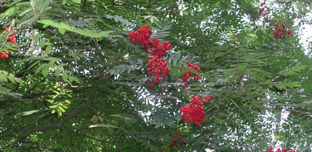
Several small woodlands have survived along the route of the trail. In some cases these have developed from old quarries or on slopes too steep for farming, such as Daresbury Firs and Appleton Dingle. Woodpeckers, nuthatches, tree-creepers, sparrowhawks, peregrine falcons and buzzards all live in these woodlands. Holly blue butterflies, which have two generations of caterpillars each year, one feeding on holly buds in the spring, and the other on ivy buds in the autumn, are amongst the insect inhabitants.
At Norton there is a Victorian water tower, representing a feat of engineering for its age, which stores water from Vyrnwy in Wales, passing along an aqueduct to Liverpool.
From the Runcorn Hill Visitor Centre, walk towards the bowling greens.
Before reaching them, turn left into the woodland.
Head straight on, ignoring a path to the right and two to the left.
Take the turning on the left that leadsover the footbridge over the path you just left.
Turn left off the path, with the cliff on your right.
Join a wider path and head left along it.
Turn left at the T junction and bear right past the houses to Weston Road.
Follow Weston Road to the right.
Bearleft at the junction with Holloway, and follow it round to the right, passing two turnings on the left.
Just after the Queen's Road turning on the right, head into an alley that goes straight on while the road bends slightly to the left. Cross Balfour Street and the footbridge over the railway.
Take the third right, which is Fox Street, and enter the cemetery. Follow the paths through to the left-hand side of the cemetery and exit on to Victoria Road. Turn right along the road and follow it to the end.
Go through the subway.
Bear left.
Bear right, rather than passing under the expressway.
Cross Heath Road.
Turn left behind the pub on to Sutton Street, which leads into Rock Park.
Bear right past the bowling greens and tennis courts.
Climb the steps up to Saxon Road and bear right across the crossroads.
Enter Stenhills Park at the end of Saxon Road.
Follow the waymarked paths through the park.
Take the right-hand alley, which leads to Boston Avenue.
Cross the road and walk along the road opposite.
Turn left at the T junction along Halton Brook Avenue and follow it round to the right.
Cross the footbridge on the left over the expressway.
Turn right at the other side.
From the end of the road, continue along the path into the park.
Bear left across the open space.
Turn right around the playground.
Turn left down to Halton Link Road.
Turn left along the path beside the road, crossing the busway.
The paths on the left lead towards historic Halton village and its ruined castle, but we continue straight on.
Continue following the road.
Cross Holt Lane and take the path opposite into Town Park.
Walk diagonally across the open space.
Bear right along the right-hand side of the trees.
Follow the edge of the trees straight on.
Follow the edge of the trees to Stockham Lane.
Cross the lane and take the path to the left of the woods.
Cross Norton Lane and enter Pickerings Rough, bearing right at the first junction.
Bear right at the second junction.
Bear right at the third junction.
Bear right at the fourth junction out of the wood.
Follow the path through the wood at Windmill Hill. Go straight on at the first crossroads.
Go straight on at the second crossroads.
Go through the subways under the busway and Hill Avenue West. Go straight on at the crossroads down to the Bridgewater Canal.
Turn right on the canal towpath and follow it down to Norton Footbridge.
Cross the bridge.
Turn right on the opposite towpath and follow it down to Norton Town Footbridge.
Turn left off the towpath. Continue straight onunder the railway and over Keckwick Brook.
Turn left after the brook.
Turn rightunder a second railway line.
Turn left on the towpath.
Pass George Gleave's Bridge.
Cross Keckwick Hill Bridge on Delph Lane.
Before the first house turn left on to a path.
Turn right around the house and into Daresbury Firs. Follow the waymarks through the wood, passing a viewpoint.
Cross the main road.
Turn left on the track into Daresbury village.
Turn left on Chester Road.
Opposite the Ring O' Bells pub turn right into Daresbury Lane.
Take the first left, Hall Lane.
Follow the lane round to the right, then left.
At the end, continue along the path.
Turnleft at the field end and right before the woodland.
At the end of this block of woodland turn right torwards the corner of another, and follow the right-hand side of that block round to the right.
Turn left to enter the woodland just before it ends. Pass through it, crossing the stream, and follow the field edge.
Turn left down to Warrington Road. If you are in need of a break, the Hatton Arms is half a mile to the right.
Turn left on the road.
Afterpassing Hatton Lodge on the lefttake the path on the right.
Cross the field with the boundary on your left, and enter the next field.
Turn left into the wood just after it begins.
Continue just inside the wood past the ponds.
Turn right about 300m in.
Cross the stream and exit the wood.
Follow the edge of the reservoir round to the right.
Turn left around the reservoir.
Turn left around the reservoir.
The second time you meet Park Lane, turn right on to it.
Turn left at the buildings.
Enter and cross the third field on the left after the buildings.
Pass into the next field with the woods on your right and follow the edge of the woods.
Bear left away from the woodsthen right towards the cemetery.
Take Windmill Lane opposite the gates of the cemetery.
Turn left at the end on Quarry Lane.
Cross London Road on to Lyon's Lane.
Follow Lyon's Lane round to the right at the junction with Broom Avenue.
At the end take the path through to the road opposite.
Turn left at Dingle Lane.
Take the path on the left into Appleton Dingle.
Bear right at the junction of paths.
Cross Witherwin Avenue.
Turn right on Dale Lane.
Take the path on the right across Lumb Brook.
Bear right across the field.
Turn left on Lumb Brook Road.
Do not take the farm track on the right, but instead the path shortly afterwards through a narrow belt of woodland.
Follow the path round to the right.
And round to the left.
Follow the left-hand edge of the trees to a track.
Turn right through a gap in the trees, past the end of the housing estate.
Cross a paved path, keeping the trees to your left.
Turn left on the track through the trees.
Turn right when you reach the Broad Lane T junction.
Turn left on to a path after the strip of woodland, and follow it between the patches of woodland and gardens to Canal Side, where you turn left towards the bridge.
At the canal, turn right on to the towpath on the far side. Follow the towpath for the next 3km (2 miles), until you reach Camsley Lane and Ditchfield's Bridge shortly after the motorway.
Cross the bridge and follow the lane.
Turn right into Massey Brook Lane.
Take the path on the left.
Turnleft at the field end.
Turn right along the path that runs behind the houses.
Pass the end of Hilltop Road.
Turn left at Booths Lane.
Turn right at the T junction on to Cherry Lane.
Turn left on to The Avenue.
Turn left on the path before the bridge into Lymm Dam woods.
Cross Church Road.
Cross the next bridge.
Follow the road round to the left to Lymm Cross.
Turn right behind the cross.
Take Pepper Street (straight on).
This becomes a path (Sutch Lane).
Cross Oughtrington Lane and pass through the yard into Spud Wood.
Enter the wood and head straight on.
Cross the fence and bearleft down to the canal, through the young woodland.
Exit the woodland near the bridge.
Cross the canal on Grantham's Bridge and take the path straight on.
Reach the Woodland Trust car park on Stage Lane which is the end of the Trail.


